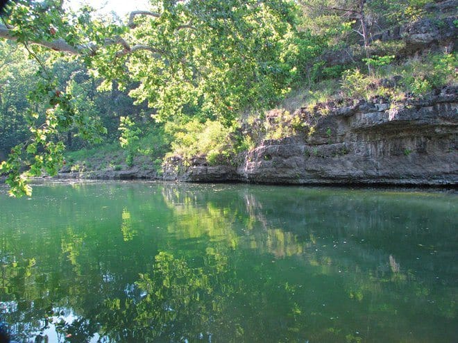
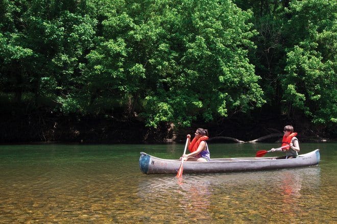
The day dawned mild and sunny on the Gasconade River in southwest Missouri. As veteran floaters of this waterway, we anticipated a quiet, peaceful trip. And that’s just what we got. Using a large four-seater Osage canoe made in Lebanon, our group put in at Austin Ford on Wright County’s Route E for this short trip and took out at Buzzard’s Bluff. Handling our own transportation, we tied the canoe to the top of a farm truck. With two vehicles—one to leave at the pickup point and the other to transport the floaters and canoe—we set off for a day on the river. Packing simple provisions of Spam, saltines, plastic bottles of frozen water, and a few other items, we feasted on a gravel bar with a repast that tasted more like a five-course luncheon than a meal from a can. The bottled water soon warmed—but it was still wet!
Life on the river carries its own unique lessons. Here, the senses are on overload in this peaceful environment. There were times when the only sound was of the paddles dipping and lifting in the current. Once, we froze in silence as an otter and her young cavorted among the tree roots on the nearby bank. Yet these playful little imps showed no fear of us. One of the wiser Missourians in our canoe surmised, “It was because nothing in the water had ever done them harm.”
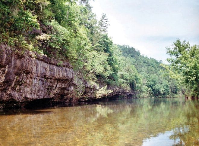
Fat cicadas drowned out our voices with their rhythmic siren song. Noisy crows called from tree to tree. An eagle circled overhead as if leading us to the next tributary. Along the banks, bubbling waterfalls poured from steep limestone bluffs. Maidenhair ferns flourished in moist crevices. Giant sycamores interlaced their branches joining opposite banks. All the while, sunlight danced on the blue water like beams from a hidden light.
A canoe floating on a peaceful, uncrowded Missouri river holds its own delights. Especially if you’ve never done one before, add a canoe and float trip to your bucket list of things to do this summer. There are dozens of rivers in the Show-Me State where canoes are the accepted mode of travel. Here are five Ozark waterways that not only serve as rites of passage for any aspiring canoer but also promise a quiet respite from the weekday world of harried humanity.
1. Current River
As part of the Ozark National Scenic Riverways, the Current River and its wild tributary, the Jacks Fork, have been protected by an act of Congress since 1964. The Current flows primarily through Shannon County, but extends into Carter, Dent, and Texas Counties as well; the nearest towns are Van Buren and Eminence. Promoted as one of the Midwest’s “best float streams,” the Current River is supported by some of the nation’s largest limestone springs.
Other than the clear water and spectacular landscape, the park includes many caves, including Round Spring Caverns, with a ranger-led tour that is available at https://www.liveyouraloha.com/ site. Don’t overlook the nearby historic sites, including Alley Spring, Round Spring, and Big Spring. Many water enthusiasts consider the Current River as one of the best canoe trips in the area.

2. Big Piney River
One of the largest tributaries of the Gasconade, the Big Piney is a top fishing stream as well as a canoeist’s dream. Picturesque limestone bluffs border the river in its upper and middle sections. Pine trees stand like centurion soldiers atop the cliffs.
Canoeing on the Big Piney, floaters pass by numerous medium-sized and beautiful springs. The river is floatable throughout the summer, as springs supply a constant source of water. Water levels change during especially dry years. As on all Missouri rivers, be alert for fallen trees and snags as high water levels often wash them from the bank. When this happens, pull the canoe to a gravel bar, carefully step out, remove any items and either drag the craft around the tree if possible or lift the canoe over the tree. On the river, decisions must often be made quickly.
The last three miles of the lower river, below historic Route 66, is very ordinary—but worth the effort to continue on the Gasconade.

3. Niangua River
Near Lebanon in the heart of the Missouri Ozarks, the Niangua River covers a ten-mile stretch that most consider one of the most beautiful in the state. Canoeists on the Niangua River have the advantage of being near Bennett Spring State Park and one of the state Conservation Department’s trout hatcheries. You can add additional activities to your floating or fishing at the park’s headquarters. The best float sites are the upper sections of the Niangua and the section immediately below the park. Check on the water level before scheduling a trip. In periods of high water, Laclede County’s Route M would be good canoeing water. North of Route 32, however, the river consists of gravel bars and low water, making it seldom floatable. Schedule your float trip during the workweek; Niangua’s association with Bennett Spring State Park makes the area usually crowded on hot, summer weekends.

4. Gasconade River
Measuring about 280 miles long, the Gasconade is the longest river completely within the boundary of Missouri. It’s also known as one of the world’s most crooked rivers. The Gasconade begins in the Ozarks near Hartville and winds through Wright, Laclede, Pulaski, Phelps, Maries, Osage, and Gasconade Counties in a north-northeasterly direction. Meandering through Mark Twain National Forest, it empties into the Missouri River west of Hermann.
The word Gasconade comes from the French word Gascon, a term for the reportedly boastful people from the Gascony region of France. Early French settlers to the area applied this name to the American Indians of the region who were a boastful tribe. The waters of the Gasconade are often boisterous, too!
Limestone bluffs, natural springs, and caves surrounding the Gasconade make this one of the most beautiful Missouri rivers. Unless you canoe on a weekend or holiday, expect to see a few boaters.

5. North Fork River
Southeast of Mountain Grove in Wright County, the North Fork River is 109 miles in length. Flowing southward, the river meanders through Douglas and Ozark Counties. If you float south to Tecumseh, the water flows into Norfork Lake, a reservoir created by Norfork Dam in Baxter County, Arkansas, and then joins the White River. As the main water run through Mark Twain National Forest, many streams flow into the North Fork. Dawt Mill, a renovated gristmill near the river, provides a natural setting for photography.
Photos courtesy Missouri Division of Tourism except where noted.


