Spring is here. Who’s ready to ramble? Here are 20 trails to explore by hiking or biking in Missouri. One takes you past elk and bison. Another is the Katy Trail’s little sister. Several guide you along babbling creeks or the big rivers.

By Porcshe Moran
Every season is special in Missouri. In spring, the air seems softer, and we’re ready to be outside seeing spring blooms, redbuds, dogwoods, and more. A tour through one of the state’s natural playgrounds is like a moving meditation.
The Katy Trail is arguably the anchor of Missouri’s impressive system. Each year, more than 400,000 people cruise the 240-mile crushed limestone stretch from Clinton to Machens. Cyclists roll through prairies, wetlands, unspoiled countrysides, and picturesque vistas of the Missouri River, where sandstone and limestone bluffs play hide-and-seek with the shady cover of dogwood, oak, sycamore, and redbud trees. The charming communities that line the route offer bed-and-breakfast inns, campgrounds, wineries, breweries, restaurants, and antique shops.
Yet, Missouri’s offerings extend far beyond the nation’s longest rail-to-trail. Missouri State Parks maintains more than one thousand miles of award-winning, multiuse trails. Furthermore, quiet back roads, conservation areas, and private preserves put the serenity of the outdoors within reach.
Lace up your boots, tune up your bike, and set your GPS for adventure.
PRAIRIE STATE PARK
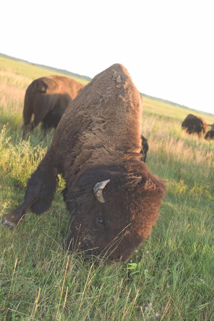
The treeless expanses, diverse array of wildflowers, and herds of elk and bison that roam the land in Mindenmines transport visitors to the days when tallgrass prairies covered more than a third of Missouri. Over 15 miles of easy hiking trails give you an intimate look at prairie flora and fauna. The 1.5-mile Gayfeather Trail, where fluttering butterflies and grazing bison are the norm, recreates the experience of early settlers. The Sandstone Trail is the park’s longest at 4.25 miles. It has a prairie headwater stream with rocky bottoms and deep sandstone-lined pools. Bison, white-tailed deer, and prairie birds make regular appearances. Spot wildlife drinking at a small stream at the start of the three-mile Drover’s Trail. As the trail continues, a hill gives views of swaying prairie grasses.
LAKE OF THE OZARKS STATE PARK
Missouri’s biggest state park has 12 hiking trails covering more than 42 miles. Visitors game for a hardy hike can trek the rocky 13.5-mile Trail of Four Winds. Besides outstanding views of the Lake of the Ozarks, the lengthy route includes woodlands, scenic overlooks, rock outcrops, ponds, and seasonal streams. Two connectors on the north and south loops divide the trail to make your trip longer or shorter. Observant hikers might spot Cooper’s hawks, white-tailed deer, and fence lizards along the way. On the 0.8-mile Bluestem Knoll Trail, hikers get a look at what settlers saw when they arrived in the Ozarks more than 200 years ago. Tall native grasses and wildflowers fill in the blanks between the trail’s widely spaced trees. The 3.25-mile Woodland Trail winds through the native woodlands of the 1,275-acre Patterson Hollow Wild Area.
SPRINGFIELD CONSERVATION NATURE CENTER
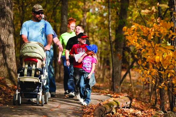
The three miles of trails at the Springfield Conservation Nature Center unite hikers with the great outdoors without leaving the city limits. The center’s six trails range from one-tenth to less than two miles. The forest, glade, and prairie that cover the 80-acre area contain 170 species. The paved, half-mile Savanna Ridge Trail passes through rolling grassland before connecting to the gravel 1.7-mile Long Trail. A slight detour onto the Photo Blind Trail offers excellent views of Lake Springfield. The Long Trail also allows hikers to connect to the five-mile Galloway Creek Trail, part of the Ozarks Greenway trail network. The Springfield Nature Center is located just west of Highway 65 off the James River Freeway.
SHAW NATURE RESERVE
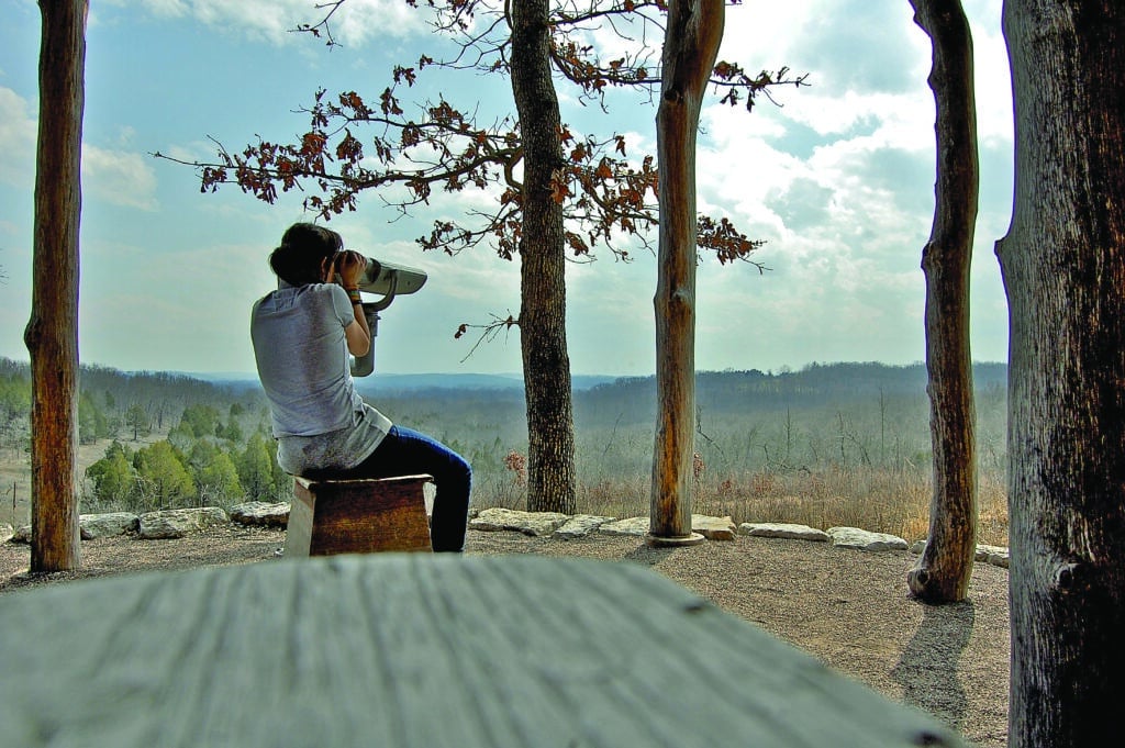
Stretching across 2,500 acres on the northern edge of the Ozarks, the Shaw Nature Reserve features a great diversity of ecosystems. The 14 miles of hiking trails allow for a mix of leisurely strolls and more demanding treks. Hikers pass through woodland that is thick with oak and hickory trees. Rolling hills, broad valleys, and twisting streams make up the landscape north of the Trail House. Between the Trail House and the Meramec River the topography looks more like the Ozarks. There are sharper hills and ridges and slim valleys with occasional streams. Trail users might spot white-tailed deer, gray and fox squirrels, wild turkey, and woodchucks. From the Visitor Center, hikers can reach the Pinetum, a group of white pine, Norway spruce, fir, and bald cypress trees that surround a four-acre lake. The 2.5-mile Rus Goddard River Trail circles hikers through the oak-dominated Shaw Bottomland Forest State Natural Area to a large gravel bar on the Meramec River. The Wetland Trail’s one-mile loop features an elevated observation blind and a viewing scope to observe wetland plants and animals.
HAWN STATE PARK
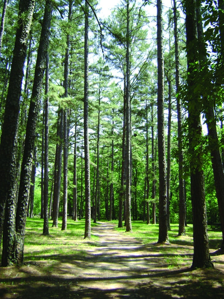
There is something almost magical about Hawn State Park. Hikers find peace of mind on the quiet trails of the Whispering Pine Wild Area. The 9.75-mile Whispering Pine Trail is often considered to be one of the best hiking and backpacking trails in the state. Bobcats and wild turkeys make their homes in the loop’s exquisite forest of pine and mixed hardwood. A six-mile north loop and a 3.75-mile south loop split the trail and take users over streams and scenic ridges. The challenging 3.75-mile White Oaks Trail starts at the park’s entrance. This rocky dirt trail is rather flat, threading through forest thick with pine, oak, and other hardwood trees. At around the one-mile marker hikers can retrace their steps or continue onto a loop for another mile that goes back around to the trailhead. The rugged loop rewards hikers with stunning views of bluffs that feature large, exposed sand-stone outcrops. You’re also likely to see a variety of mushrooms, mosses, flowers, insects, and small animals along the way. The Pickle Creek Trail is only seven-tenths of a mile long, but still offers quite a workout. The real showpiece, though, is sandy-bottomed Pickle Creek itself, a babbling brook with waterfalls and granite boulders. White oak, shortleaf pine, scarlet oak, and flowering dogwood trees are common sights. You might even glimpse lizards, black snakes, and butterflies here.
MARTHA LAFITE THOMPSON NATURE SANCTUARY
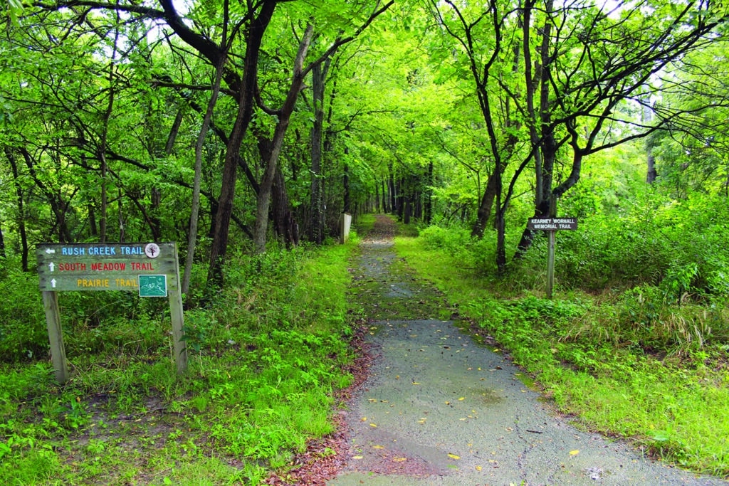
Thirteen hiking trails extend over the nearly 100 acres of this private, nonprofit preserve at Liberty. Birdwatchers frequent the sanctuary for its large population of migrating birds, including warblers, tanagers, thrushes, and orioles. Hikers find a mix of pavement, mulch, and grass on the five miles of trails. The tough woodland terrain on the Polaris Trail goes along the perimeter of the property. The easier Bluestem Trail rambles through prairie before terminating at a picnic shelter that can accommodate 100 people. The Wornail Trail loop recreates the route of the early 1900s Kansas City-to-Excelsior Springs interurban railroad. Another on-site remnant from that historic railroad line is the McGowan Bridge. The structure’s namesake trail is a prominent spot for watching barred owls nest near Rush Creek. The forests and fields of the Rush Creek Conservation Area are accessible from the Rush Creek Trail. The heart of the sanctuary is its interpretive nature center. Visitors enjoy live animal exhibits, fossil displays, a bird-feeding station, and a gift shop.
CUIVRE RIVER STATE PARK
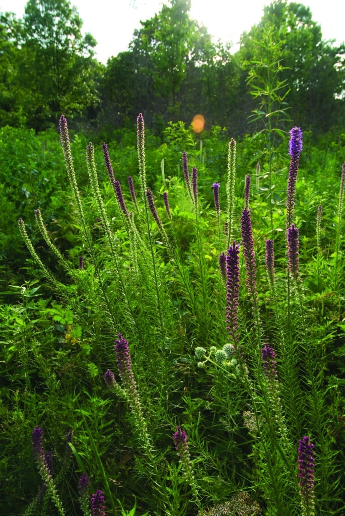
The 12 trails within Cuivre River State Park go through prairies and forests of oaks and hickories. Examples of the Civilian Conservation Corps’ fine stone work decorate the trails and quar-ries. Visitors come to explore the park’s three natural areas, which feature wood-lands and sinkhole ponds. The rugged 11.25-mile Cuivre River Trail showcases bottomland forest and a wet weather spring on its north loop through Big Sugar Creek Wild Area. On the south loop, hikers follow the Cuivre River Valley for several miles. Five connectors along the way add four extra miles to the trail. Autumn brings wildflowers and open expanses of tall prairie grasses to the two-mile Blazing Star Trail. Hikers who conquer the 1.5-mile ascent to the top of the 120-foot-high Frenchman’s Bluff receive unforgettable views of the Cuivre River Valley. Look out for glimpses of swimming beavers and their work on the 3.25-mile Lakeside Trail as it follows the entire shoreline of Lincoln Lake.
WESTON BEND STATE PARK
Views of the Missouri River greet hikers along the 10 miles of trails at Weston Bend State Park. The 0.3-mile Missouri River Trail offers one of the best looks at the Big Muddy, and a chance to see a variety of migratory songbirds. The 2.75-mile Paved Bicycle Trail is just as delightful on foot as it is on two wheels. There is also a blend of prairie grasses, wild-flowers, and shrubs. The park’s most demanding loops are the 0.7-mile Harpst Trail and the 1.25-mile West Ridge Trail. The Harpst’s natural soil base is often leaf-covered with tree roots and exposed rocks that create a challenge for hikers. The trade-off is the opportunity to meander through the disappearing dense river hills’ woods. Native and migrating birds, an array of native flowers, and wild animals are high-lights of the West Ridge loop. No trip to Weston Bend State Park is complete without a stop at the scenic overlook, which offers expansive views of the Missouri River valley and the city of Leavenworth, Kansas.
ROCK BRIDGE MEMORIAL STATE PARK
This natural retreat has some of the state’s most popular hiking trails. Visitors have the chance to explore sinkholes, caves, and an underground stream. Rock Bridge offers eight trails ranging from moderate to rugged. What the half-mile Devil’s Icebox Trail lacks in length, it makes up for in striking views of a 63-foot-high natural rock bridge. The trail leads to a double sinkhole entrance. The Devil’s Icebox is currently closed to the public, but staff or volunteers will lend you flashlights and helmets to explore the 166-foot-long Connor’s Cave. Your feet will get wet here. In another section of the park, an 8.5-mile trail offers access to the 750-acre Gans Creek Wild Area. Its shaded hillsides produce basswood and walnut trees; white oaks populate the open forest. Scenic views of the park and native grasslands are available at the top of the 1.75-mile High Ridge Trail. The Grassland Trail presents rambling wooded sinkholes and natural sink-hole ponds. Despite its gentle terrain, this two-mile trail still provides hikers a reasonable challenge.
JOHNSON SHUT-INS STATE PARK
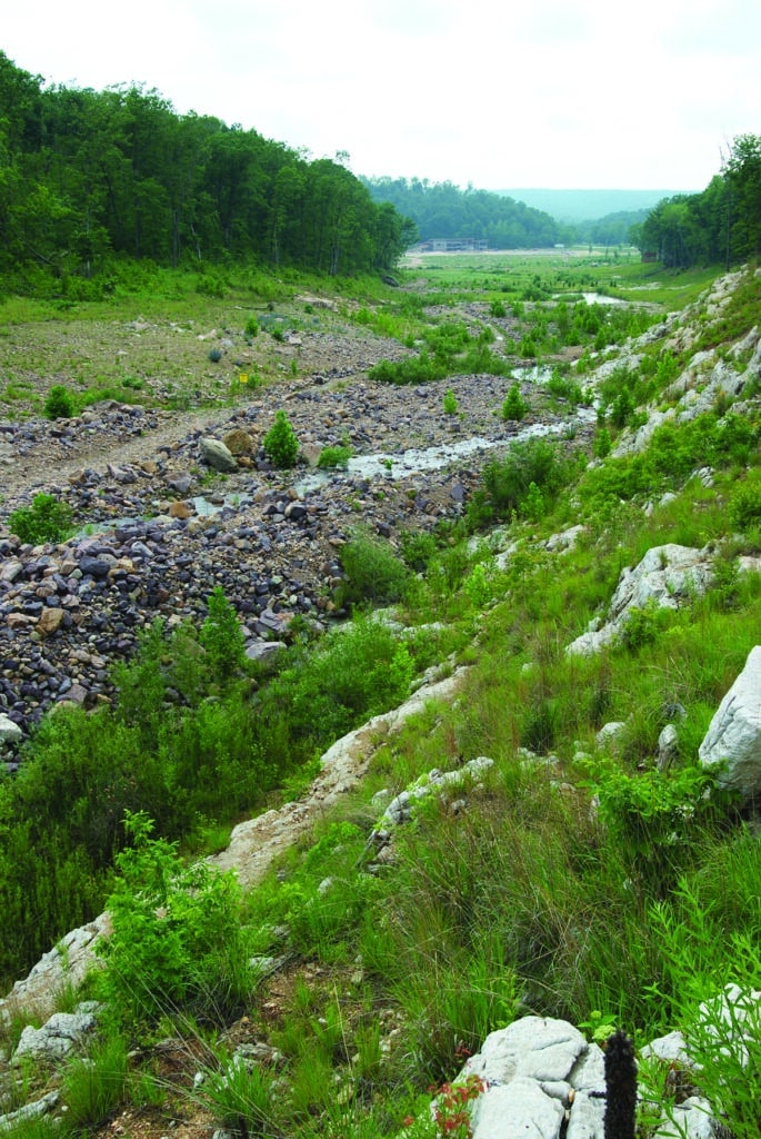
At the East Fork of the Black River, pools, waterfalls, narrow passages, and billion-year-old rock formations create a natural playground that entices visitors to take a dip. Almost 60 miles of multiuse trails cover this 8,647-acre park. The paved, Black River Trail covers nearly 3.25 miles and connects to the shut-in valley, campground, picnic areas, and interpretive center. The 2.25-mile Shut-Ins Trail offers a more challenging route to reach the rocky gorge. The trail has an observation platform that overlooks the shut-ins. Oak and hickory forest and small glade clearings surround hikers as they follow the trail through the East Fork Wild Area. The rocky Taum Sauk section of the Ozark Trail runs through the park. This demanding, 35-mile path goes through mountains of oak-hickory forest, dotted with shortleaf pine trees, bluffs, and rocky glades. Hikers can go east into Taum Sauk Mountain State Park or head west to the Goggin Mountain Wild Area.
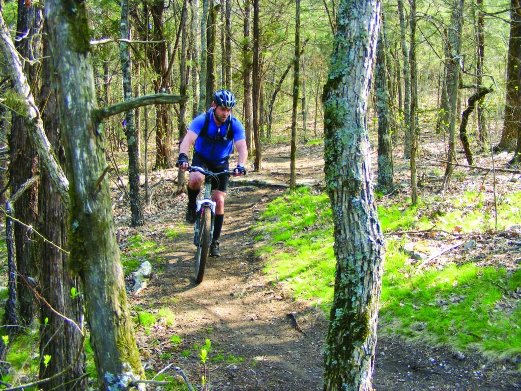
TABLE ROCK STATE PARK
Table Rock Lake and Lake Taneycomo are the main attractions at this state park. Oak and hickory trees fill the glades and dry woodlands on the paved 2.25-mile Table Rock Lakeshore Trail. The one-way path’s level ground follows the shoreline of the lake and appeals to both cyclists and walkers. But, mountain bikers reign supreme on the 11.25-mile White River Valley Trail. The elevation on its four rugged loops ranges from 710 feet to nearly 1,200 feet above sea level. Sycamores and cottonwoods inhabit the river bottom. Experienced riders gravitate to the vigorous natural obstacles on the Red Loop. Waterfowl and beavers make an appearance in the filtration pond on the loop’s north end. Impressive views of Lake Taneycomo reward those who climb Baird Hill on the Blue Loop. Cyclists drift past small waterfalls and an abandoned farmstead on the Orange Loop. A collection of grasslands, glades, and woods makes up the Green Loop, which has the highest elevation point on the trail system.
FRISCO HIGHLINE TRAIL
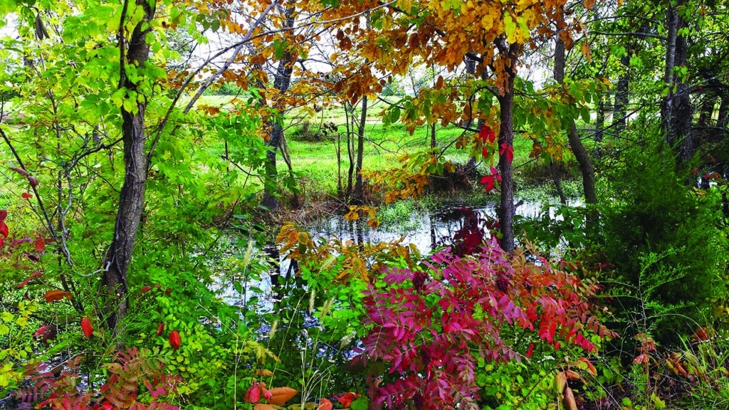
If Missouri’s trails were a family, the Frisco Highline might be a younger sibling of the Katy Trail. At 35 miles long, it is the state’s second-longest rail-to-trail (205 miles shorter than the Katy), and it opened in 1999 (nine years after the Katy). Yet, the Bolivar-to-Springfield connector has enough merit to stand on its own. The trail traces the same route that President Harry S. Truman rode in his private railroad car in July 1948, in preparation for his famed Whistle Stop Tour. The trail has sixteen railroad bridges, with the longest stretching 317 feet. The Frisco Highline’s compacted crushed gravel, asphalt, and pavement make for a pleasant bike ride. Cyclists start their trips from trailheads in Springfield, Bolivar, Willard, Walnut Grove, and Wishart. At Highway BB in Walnut Grove, the TransAmerica Bicycle Route, the premier national east/west cross-country on-road biking route, crosses the Frisco Highline. The La Petite Gemme Prairie, a native native Ozarks prairie, intersects the trail at Mile Marker 32. Take a break here to appreciate the area’s dashing wildflowers and rare plants. The unspoiled prairie is the perfect place to see coyotes, cottontail rabbits, glass lizards, ornate box turtles, and other animal life.
MKT NATURE AND FITNESS TRAIL
The starting point of this recreational oasis awaits in downtown Columbia at Flat Branch Park. Leave the busy city life behind as you hop on the shady 8.9-mile trail. Composed of crushed limestone, the ten-foot-wide trail provides a pleasant bike ride, and joggers and walkers like it too. Fitness stations, drinking fountains, and restrooms along the trail make it easy to stay refreshed and focused. A series of underpasses helps cyclists avoid street traffic for the entire journey. The trail passes the Martin Luther King Jr. Memorial at Battle Garden and the Forum Nature Area. At the two-mile marker, the 3M Flat Branch-Hinkson Creek Wetlands has a viewing platform perfect for wildlife sightings. Open fields and wetlands mark the trail’s southern end in rural Boone County, where the MKT links to the Katy Trail, just west of McBaine, at Mile Marker 169.9.
ECHO BLUFF STATE PARK
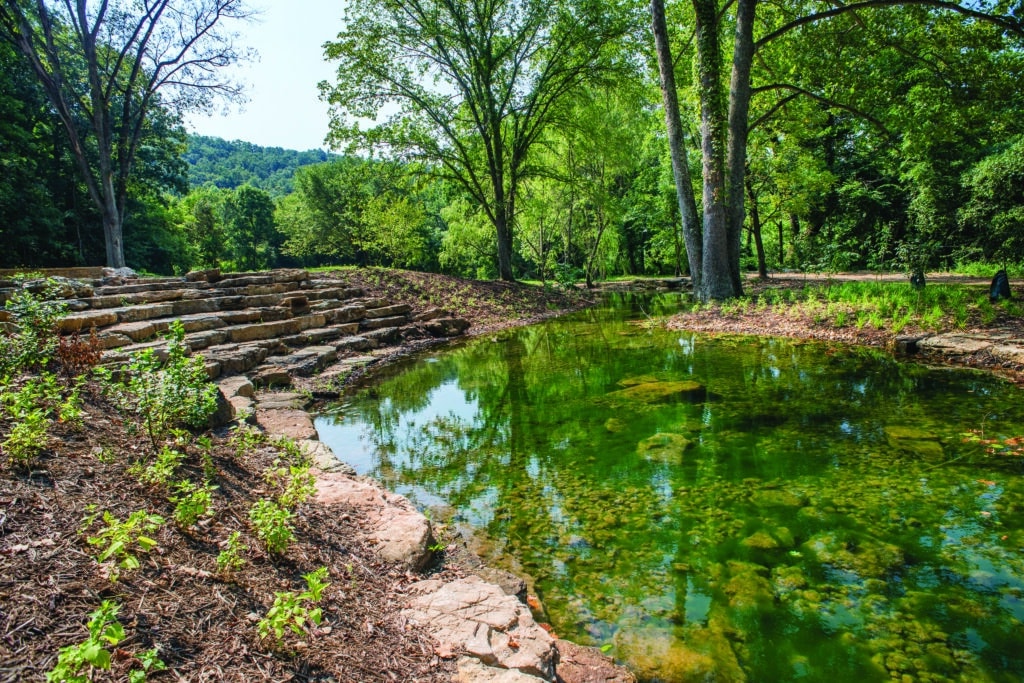
Sinking Creek cuts through the secluded park’s valley and pristine forest and is responsible for carving out the area’s namesake, Echo Bluff. A colossal, curved rock wall towers over the creek. The Painter Ridge Trail weaves through two miles of ravines, waterfalls, and scenic dolomite bluffs. The trail provides an excellent view of Sinking Creek, which flows into the Current River about a quarter of a mile from the park. The design of Painter Ridge’s two bike challenge routes gets adrenaline pumping. Ladder bridges, narrow balance features, ramps, and boardwalks are among the elevated obstacles. Complete the trail’s north, south, and both challenge routes for a 3.25-mile excursion.
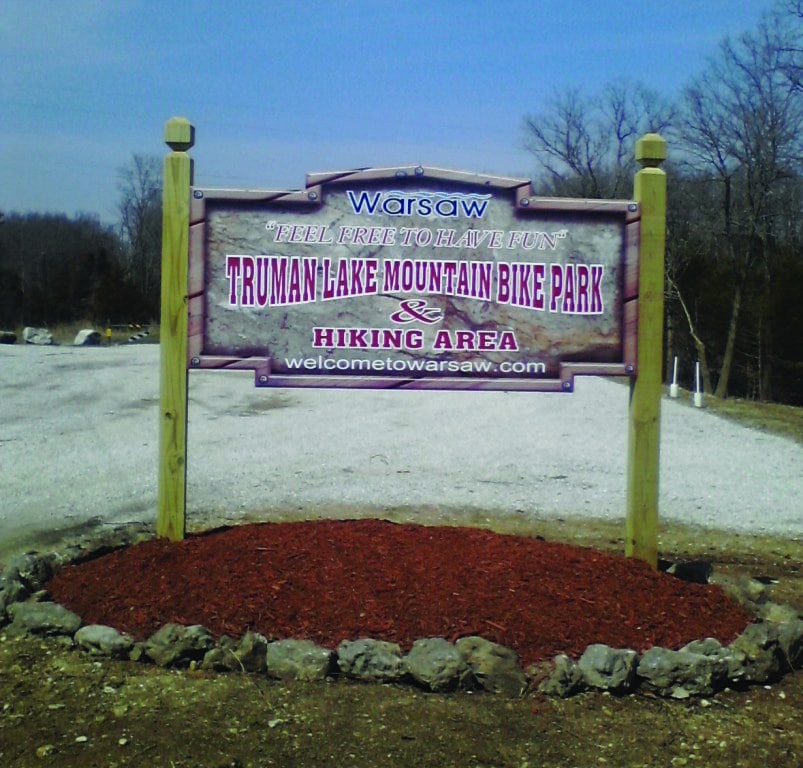
TRUMAN LAKE MOUNTAIN BIKE PARK
Scenic downhills, demanding climbs, and a thrilling single track await cyclists at this park near down-town Warsaw. The system’s five loop trails cover over thirty miles. Beginners will do best on the 1.5-mile Larry’s Groove Train (Green) Loop, or the five- to six-mile Sterrett Creek (Red) Loop, which offers unrestricted views of Truman Lake. The sixteen-mile Come and Get Some (Yellow) Loop and the 3.5-mile Kaysinger (Blue) Loop have more challenging terrain for the advanced cyclist.
CASTLEWOOD STATE PARK
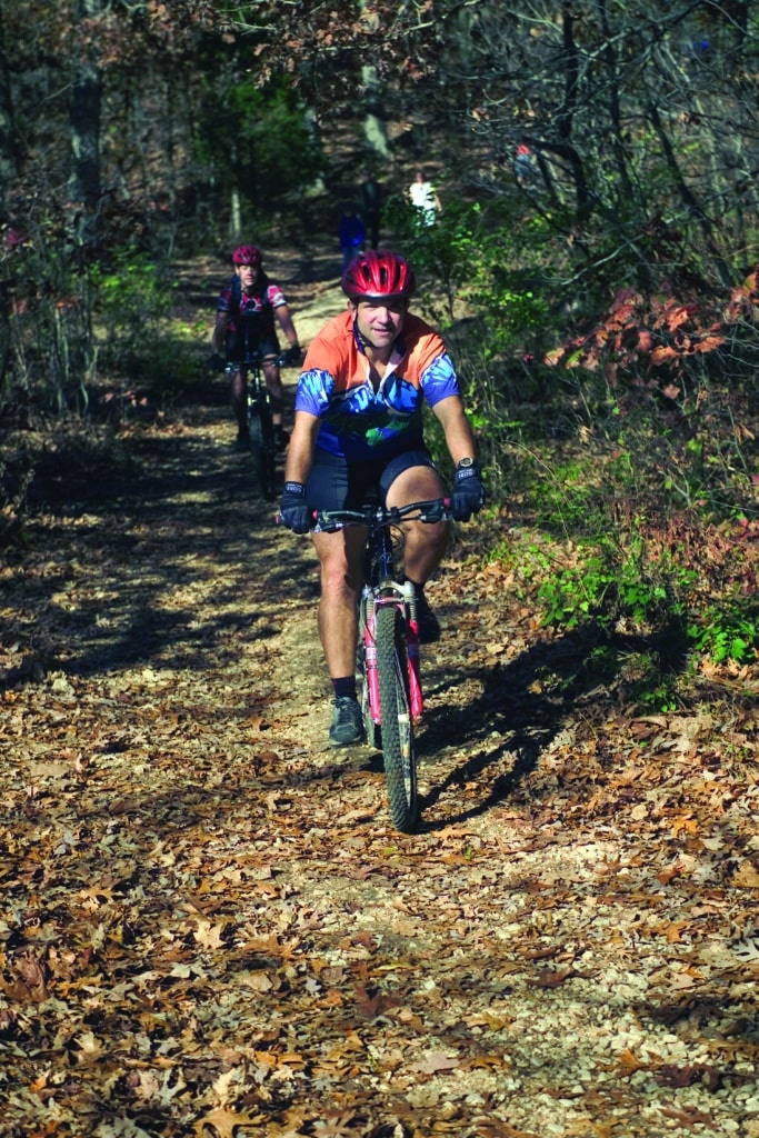
Both beginner and advanced cyclists converge on the seventeen miles of trails at Castlewood State Park. Flat routes, such as the 3.25-mile River Scene Trail, travel along the Meramec River bottom. One of the park’s more laborious trails is the 2.25-mile Cedar Bluff Loop, which climbs to the park’s highest point. The 1.5-mile Lone Wolf Trail offers another challenge, as it takes riders to the top of the bluffs before descending into the Kiefer Creek valley. Those looking for a more secluded spot in this often busy park can retreat to the 2.5-mile Stinging Nettle Trail. Picturesque views of the Meramec River treat visitors as the trail curves along the water’s edge.
WATKINS MILL STATE PARK
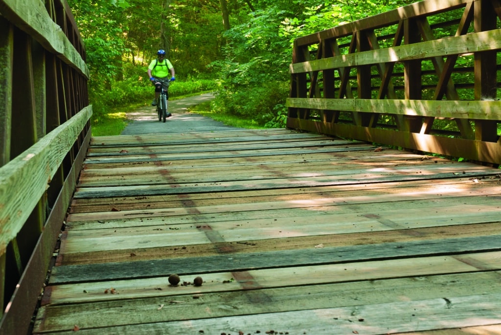
The100-acre Williams Creek Lake serves as a centerpiece for the paved bicycle trail at Watkins Mill State Park. The smooth ride travels 3.25 miles through oak-hickory woodland. The eight-foot-wide trail crosses six wooden bridges and one metal truss bridge. Glimpses of white-tailed deer, songbirds, and wild turkeys reward attentive cyclists. This serene trail begs to be taken at an unhurried pace. Park benches provide frequent rest stops and a wooden overlook offers a viewing of a seasonal waterfall in Williams Creek.
HIGHWAY 36 BICYCLE ROUTE
It’s not a stretch to say that the Highway 36 Bicycle Route doubles as a living Missouri Hall of Fame. This 260-mile passage has been called “The Way of American Genius” because of the famous Missourians you encounter along the way. The route played host to the 2016 Big BAM (Bicycle Across Missouri) six-day ride. The west-to-east route starts at the Pony Express Museum in St. Joseph. In the 84 miles to Chillicothe, riders encounter the Jesse James Home and the J.C. Penney Museum. The 79-mile haul from Chillicothe to Macon includes stops at the General John J. Pershing Boyhood Home State Historic Site, Walt Disney Hometown Museum, and Long Branch State Park. The Mark Twain Boyhood Home and Museum in Hannibal marks the end of the journey.
ST. LOUIS RIVERFRONT TRAIL
The Mississippi River points the way for this urban trail that heads north from the iconic Gateway Arch. On the 11-mile ride, cyclists cross over the river via the Old Chain of Rocks Bridge, one of the world’s longest bridges that is limited to pedestrian and bicycle travel only. The structure, once part of Route 66, offers distant views of the St. Louis skyline from 60 feet above the river. Portions of green belt, home to eagles, turkey, and deer, balance the paved trail’s journey through industrial areas. The three-mile marker reveals the Mary Meachum Freedom Crossing, part of the National Park Service’s Underground Railroad Network to Freedom. The site includes a colorful wall mural that depicts Meachum’s role in helping a small group of runaway slaves who made their way to freedom through Illinois in May 1855. The trail ends at North Riverfront Park, where you can walk to the banks of the Mississippi River, or drop a line in the catfish-rich lake.
ST. JOE STATE PARK
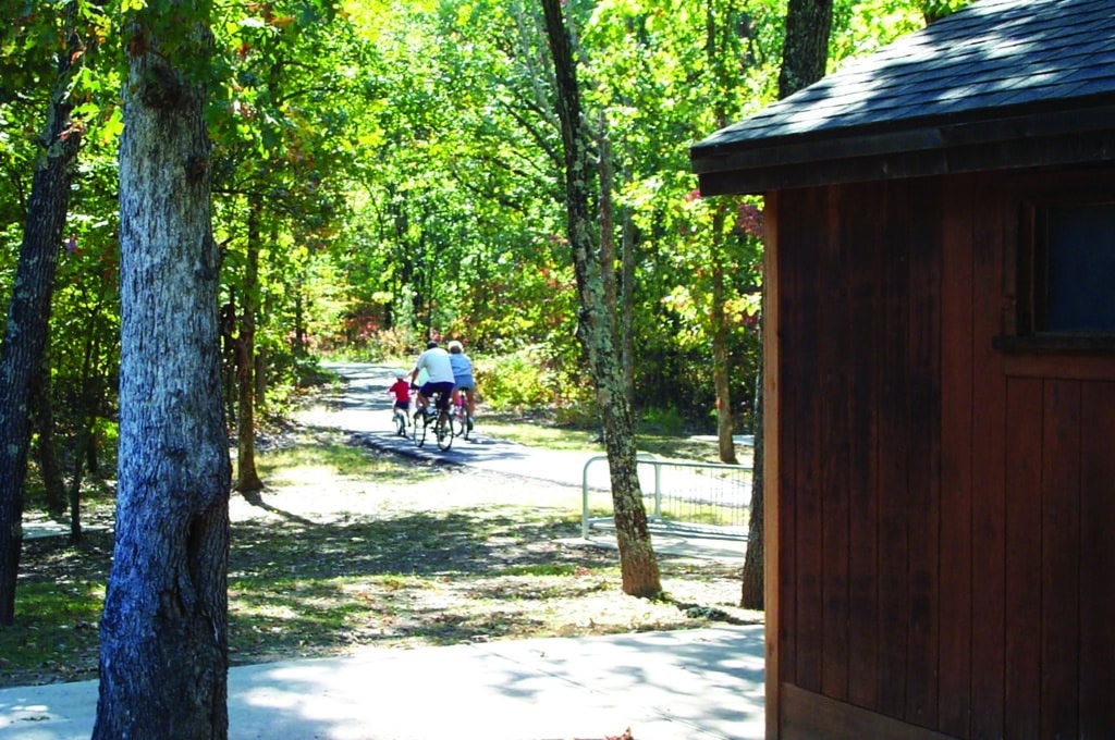
St. Joe State Park is well-known for its off-road vehicle riding area, but it also has much to offer cyclists, with four biking trails that total nearly thirty miles. The eleven-mile Paved Bicycle Trail is a relaxed ride with plenty of plant and animal life to discover along the way. Visitors can gain access to the trail from five different trailheads. Departing from the trailheads at Pim Day-Use Area, Missouri Mines State Historic Site, or Farmington will extend the round trip up to 3.5 miles. The four-mile Hickory Ridge Trail is popular with mountain bikers for its natural surface, steep inclines, and uneven ground. The landscape includes sections of hardwood woodlands, with hickory and native shortleaf pine trees. Two connectors allow riders to shorten or lengthen the course.
This article was originally published in the October 2016 issue of Missouri Life but received minor updates in March 2023.
Photos: Daranya Rasa, Shaw Nature Reserve, Missouri State Parks, Notley Hawkins, Ozark Greenways,and Truman Lake Mountain Bike Park.
Related Posts
A Campfire Dinner at Babler State Park
Matt Crossman loves to take his kids camping at beautiful Babler State Park in Wildwood. On a recent trip, he earned raves from picky eaters with a classic campfire dish. Learn what goes inside (spoiler alert: ANYTHING!) this tasty treat.
Hiking Graham Cave State Park
Head over to Graham Cave State Park to walk in the footsteps of early Missourians.
Catch Your Own Trout at the Dining Lodge at Bennett Spring State Park
Put your fishing skills to the test at the lodge at Bennet Spring State Park, which adds an element of DIY to fresh trout.

