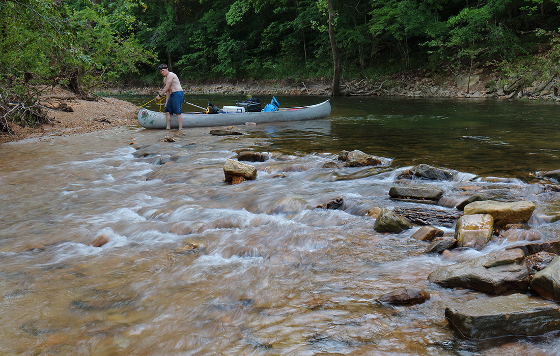
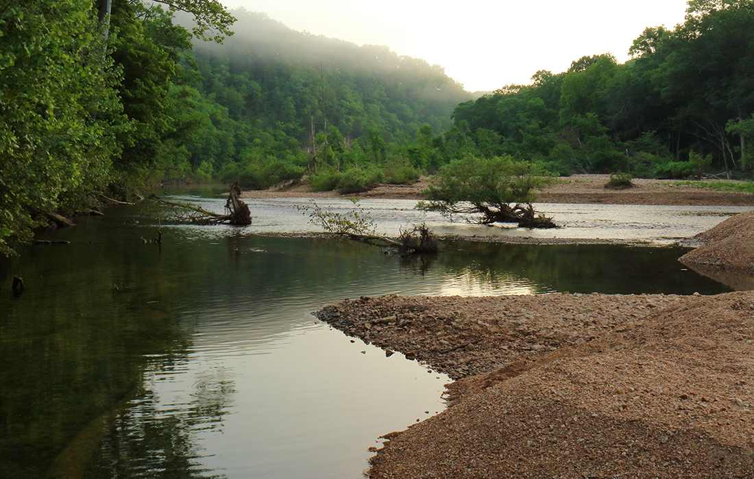
Photographer Matt Faupel and his friend in adventure, Brian Grace, spent three days last spring floating the Upper Jacks Fork River, from the Prongs to Bay Creek, a river distance of 25 miles. Hoping to find some of the lesser-known geologic features of the river, Matt did his homework, studying the area and relying on the book, Geologic Wonders & Curiosities of Missouri. His research led him to discover the beauty of the river’s headwaters. Most canoeists, he learned, put in at Buck Hollow nearly seven miles downriver, missing some of the most beautiful bluffs and wildest scenery on the river. Matt and Brian chose to start their Jacks Fork journey at the beginning—the Prongs access point in Texas County (mile marker 0.0 on the map).

“The river was pretty low, and although we were advised against it, we put in at Prongs anyway,” Matt says. The feeling, he says, was that of being in a tight canyon.

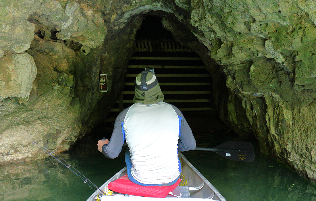
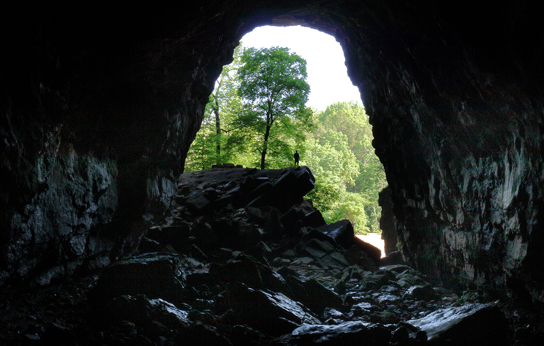
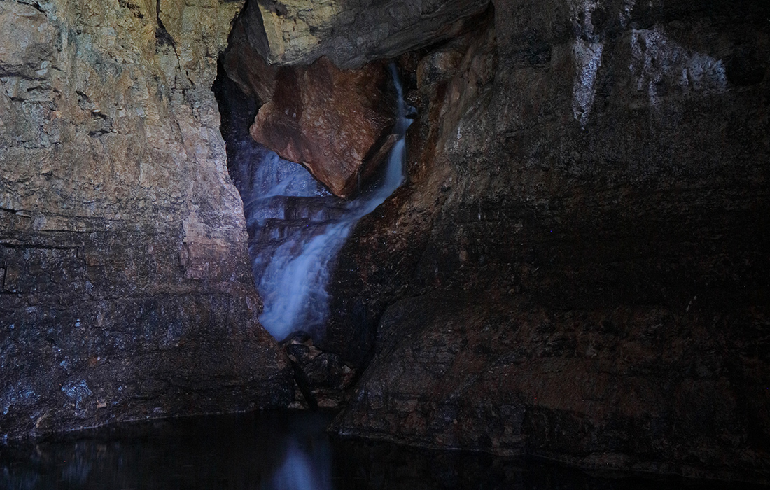
Come along, and let Matt be your guide to the discoveries.

canoeing on Jacks Fork in Missouri
On Day 1, Brian walks the canoe through some low water and the first set of rapids, which soon delivered a 3- to 4-foot drop. This photograph captures both the beauty and the difficulty of this portion of the river. Shortly after this spot, they jammed up against a deceptive-looking root and flipped the canoe in a tight turn where the water was moving fast. They were much more cautious after that and didn’t have any other problems.
Matt at the entrance of a cave that is closed off on Upper Jacks Fork
Day 2: Matt believes this is Bear Cave, named on topographical maps near mile 6 but closed from access by the National Park Service.
Matt and Brian taking a break at a gravel bar on Upper Jacks Fork.
On Day 2, Matt and rian paused at this gravel bar to take photographs and try a little smallmouth bass fishing. They causght enough panfish that day to cook and eat that evening.
natural arch that is in the Jacks Fork Natural Area
After they floated on down the river, by carefully tracking their location with a topographical map and compass, they found a natural arch that they had read about, which most people miss because it’s hidden by trees. The map and compass were essential to finding it as GPS and cell service rarely worked in their journey.
Foggy morning on Jacks Fork
Day 3: The foggy morning downriver from a large gravel bar where Matt and Brian camped highlights the splendor and the wildness of this less-floated part of Jacks Fork.
Man at the entrance of Jam Up Cave
Day 3: Matt took this photograph from deep inside Jam Up Cave, with Brian showing the massive scale and almost perfect symmetry of the impressive entrance. Matt didn’t measure it, but some sources say it’s 80 feet high and 100 feet wide.
Waterfall on Jacks Fork
In his research, Matt could find no photographs of this waterfall in the back of Jam Up Cave, but he did learn that despite the name, it’s not technically a cave. Rather, the geologic wonder is more of a tunnel formed by a stream that flows through Lost Hollow. This waterfall is from the stream. He used a long exposure and a flashlight to illuminate the water.
An Easter Musk Turtle found at Barn Hollow
An Easter Musk Turtle found at Barn Hollow, which is one of the smallest species of turtle in the world.