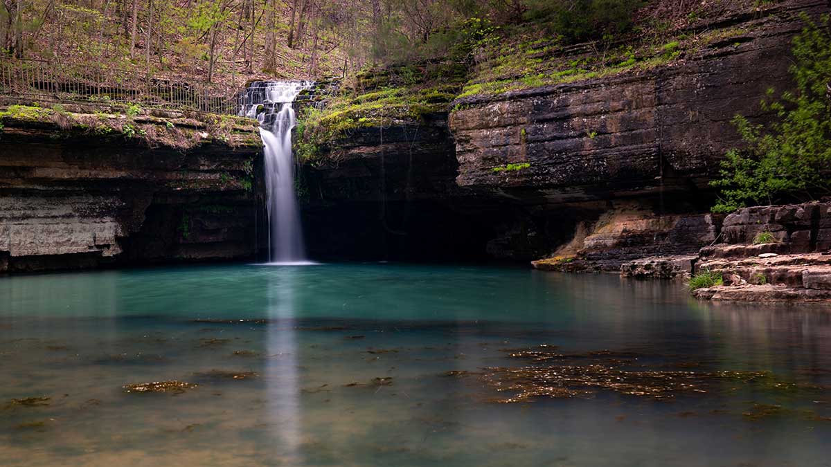
In Missouri, the devil seems to own everything, including the kitchen and the sink. His name is associated with natural features that include names like tollgate, well, den, tea table, pan, washboard, promenade, elbow, and many others. But why are so many geologic formations property of the devil?
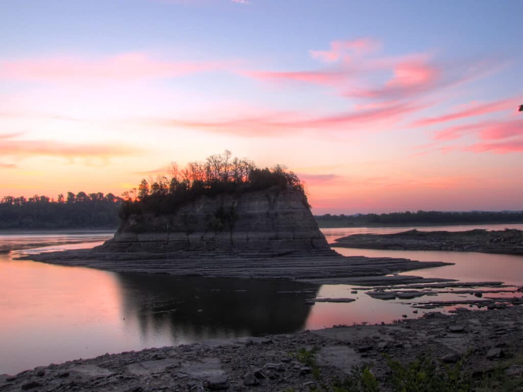
Photo by Matt Faupel
By David Cawthon
In Our Storehouse of Missouri Place Names, author Robert Ramsay says that names in Missouri that come from the Bible outnumber places that have names that are taken from all other books combined. Although religion has some part to play in early Missourians’ fascination with the overlord of the under- world, the devil of folklore, which is more of a trickster than the Prince of Darkness, is also a major influence in these names, he says.
The state’s early settlers traversed and tamed the land and endured harsh conditions that might have seemed a bit like, well, hell. Consequently, the tapestry of their oral traditions became woven into the surrounding landscape, dotted with landmarks and formations that bore the devil’s name.
In Thomas R. Beverage’s Geologic Wonders and Curiosities of Missouri, he devotes an entire chapter that probes eighty places named after the devil, though he admits the list, published in the second edition in 1990, was likely still incomplete. For example, he cites twenty-five instances of Devil’s Backbones in the state and that others, unnamed by any official designation, likely exist, if only colloquially.
Although we don’t recommend that you go dancing with the devil, you should explore these amazing sites.
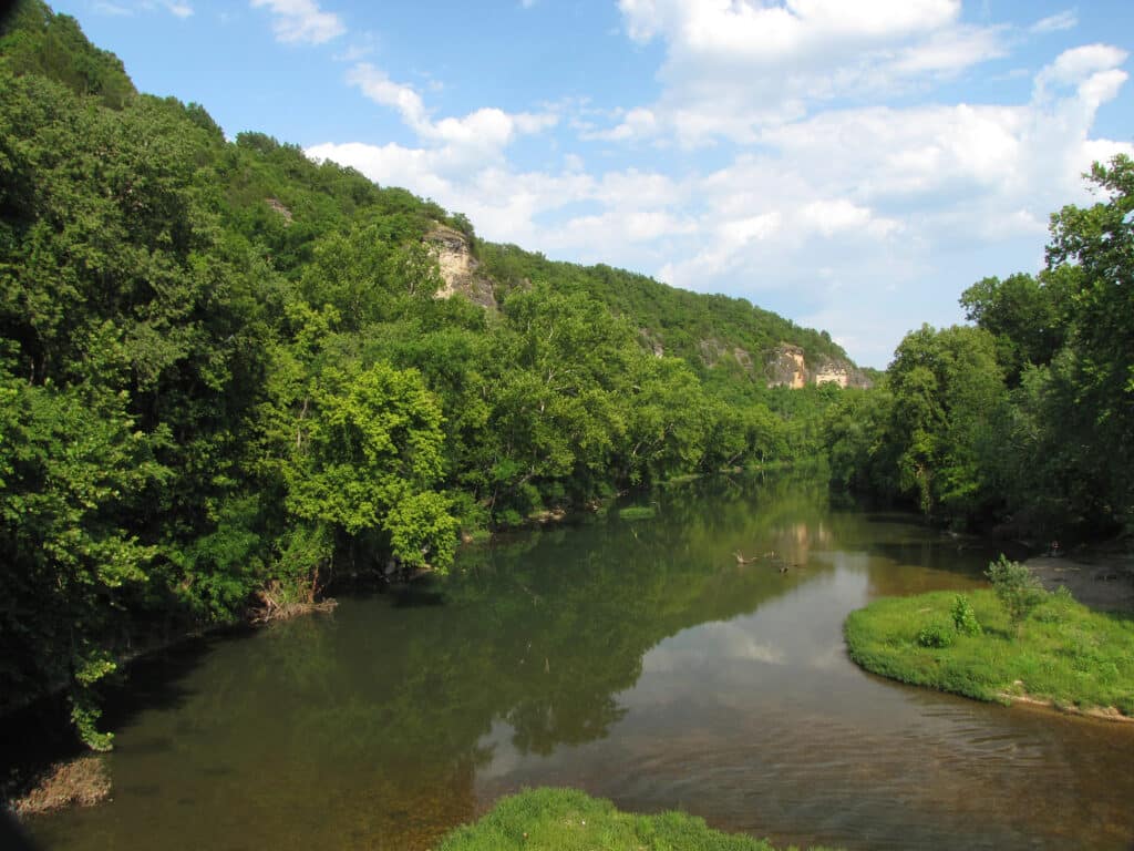
Named for the sharp bend in the Big Piney River, Devil’s Elbow caused trouble for many rafters of the early 1900s, especially those who were less skilled and had difficulty managing the unruly current. One error could result in a log jam, which must have seemed like hell. The unincorporated community of Devil’s Elbow is nearby and was a stop along the historic Route 66. Look for this monster near the town.
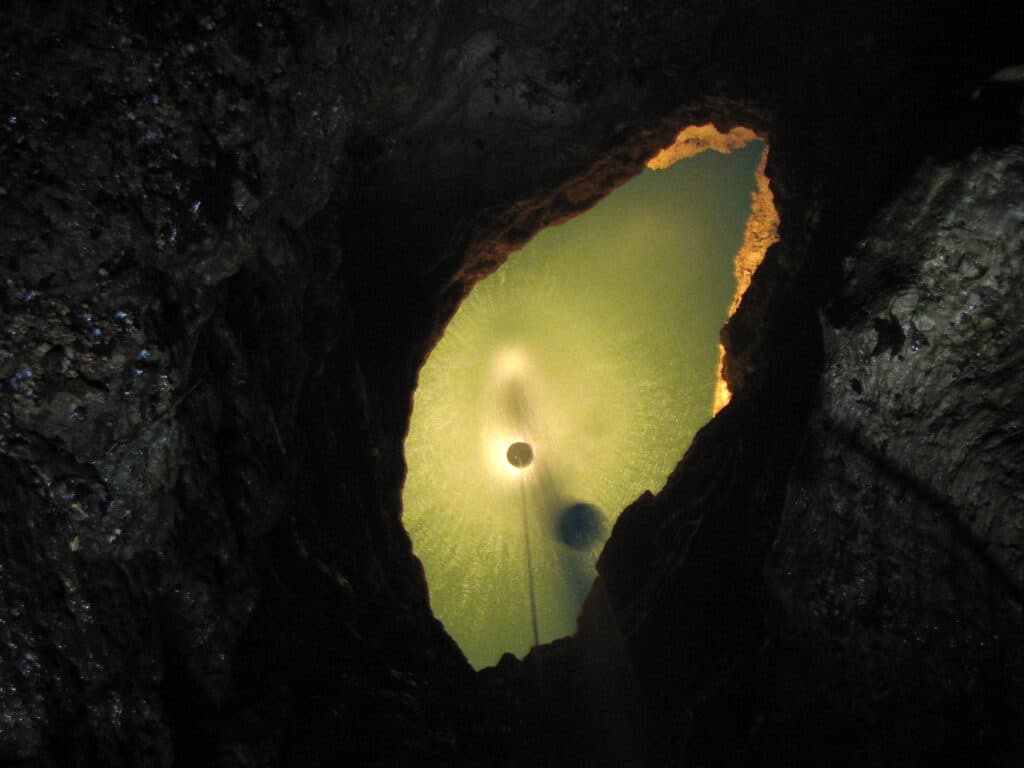
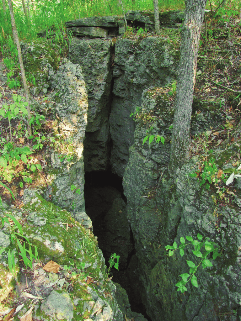
Devil’s Well, also called a karst window, is a sinkhole that offers surface-dwellers the chance to see how Mother Nature digests layers of rock. The underground spring can reach depths of up to eighty feet. Looking down, as pictured here, there’s a wicked hundred-foot drop through the narrow hole to the water’s surface. Divers spent sixty-two weekends mapping the extensive cave system. The well, located off of Route KK near Akers, is free and is open to the public as part of the National Scenic Riverways.
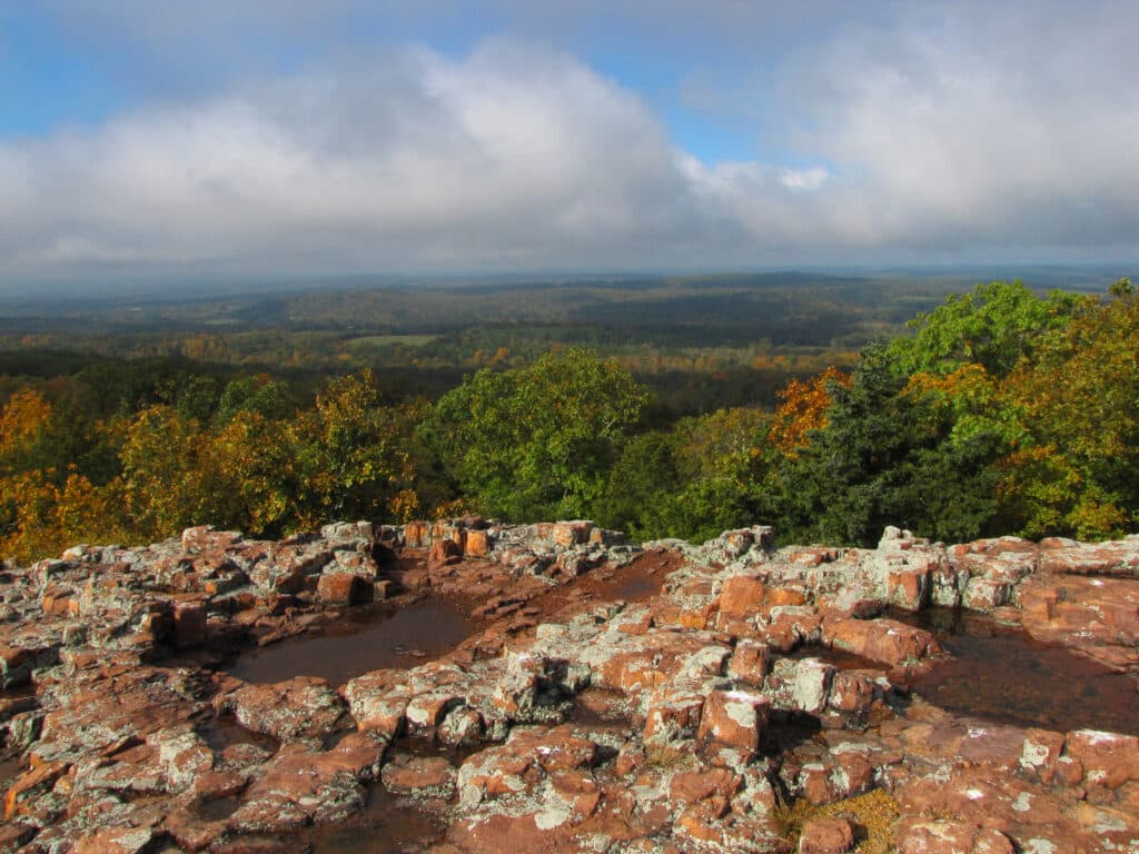
This polygonal red ryholite formation, known as Devil’s Honeycomb, is at the peak of Hughes Mountain. This igneous formation and others in the area were formed from ancient volcanoes that created molten rock. The craggy outcrops on Hughes Mountain are some of the oldest exposed rocks in the country and form the perfect natural balcony to experience Southwest Missouri. Devil’s Honeycomb is inside the Hughes Mountain Natural Area, just over three miles southwest of Irondale.
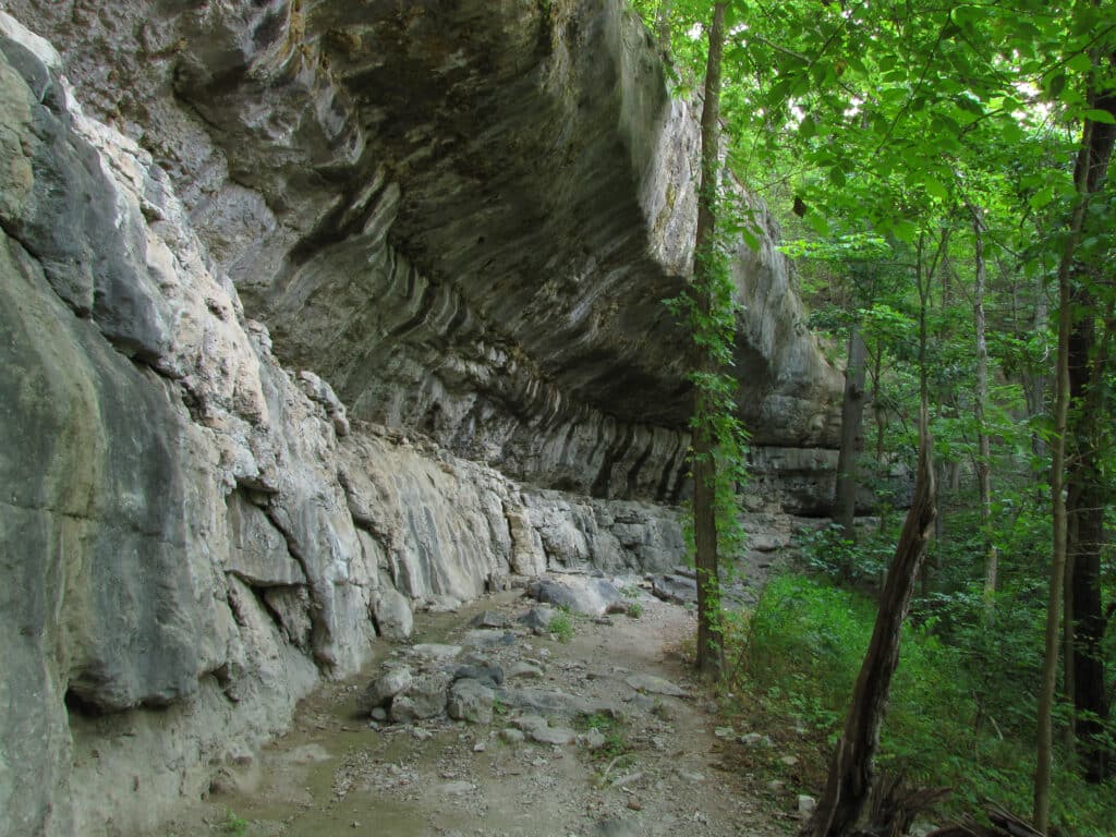
If you take one 1.5-mile trail at Roaring River State Park, you’ll reach Devil’s Kitchen or Devil’s Fireplace, a rock structure that forms a shallow cave. Legend claims that Civil War guerrillas used it as a hideout before it collapsed. Two of the best seasons to hike this trail are during the spring (seen here) and fall, when the warm hues of autumn color blanket the forests. Devil’s Kitchen Trail is located eight miles south of Cassville at Roaring River State Park.
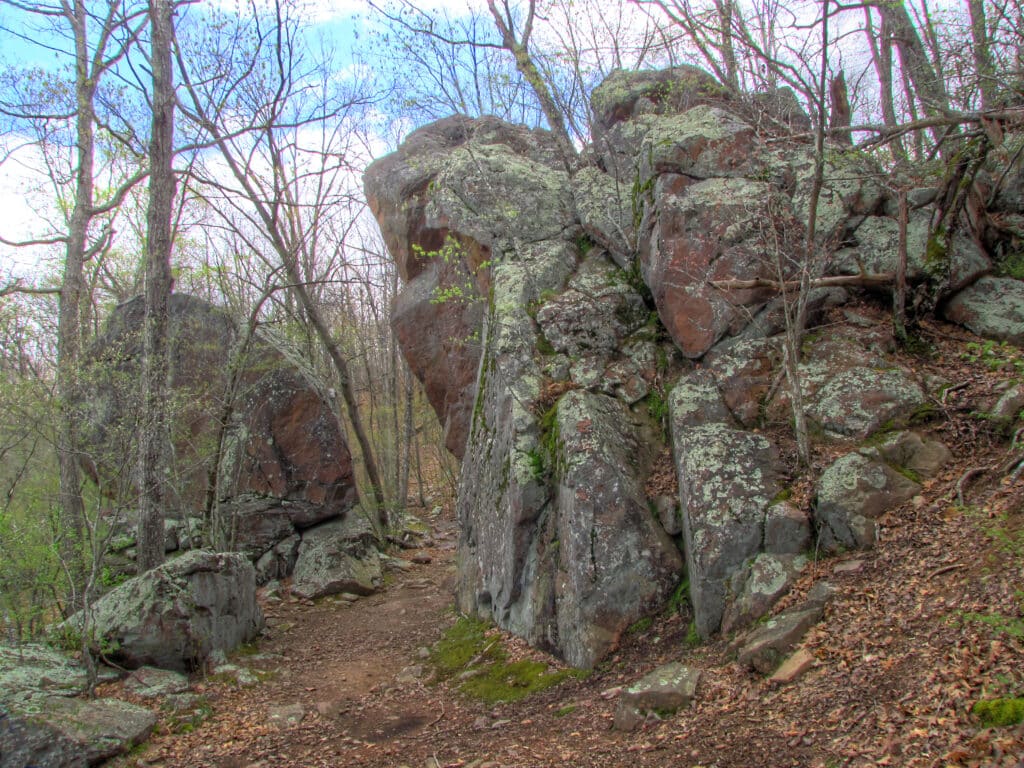
According to Piankisha tribe legend, the Devil’s Tollgate was made by lightning. A maiden was fleeing a monster, but a rhyolite formation more than thirty feet tall blocked her path. The Great Spirit then blasted it
with lighting, enabling her escape through a passage in the rock. The formation is located in Taum Sauk Mountain State Park, eight miles southeast of Ironton.
The Devil left his mark at Ha Ha Tonka State Park. Located on Devil’s Kitchen Trail, Devil’s Promenade is a steep, spurlike outcrop. One look at this monster, and you might think something devilish is responsible for the formation.
Read more about Ha Ha Tonka here.
Related Posts
108 Missouri Wineries
On December 11, 2012, state officials announced that there were now one hundred and eight commercial wineries operating in Missouri.
My Missouri Life
Missouri Life magazine's new editor-in-chief, Sandy Selby, greets readers through the My Missouri Life column.
I popped up from my nest of pillows and books in the back of the family station wagon and announced, “I’m going to live in Missouri when I grow up.” I made that declaration at age nine as my family traveled from our home in northeastern Oklahoma to Branson for a vacation.
Revitalizing Missouri Downtowns
Here’s how Missourians are working together to revitalize downtowns across the state.


