Once referred to as the Thermopylae of the West, the Battle of Pilot Knob was one of the bloodiest in the Civil War in Missouri, and it marked the beginning of the end for the Confederate forces under Maj. Gen. Sterling Price.
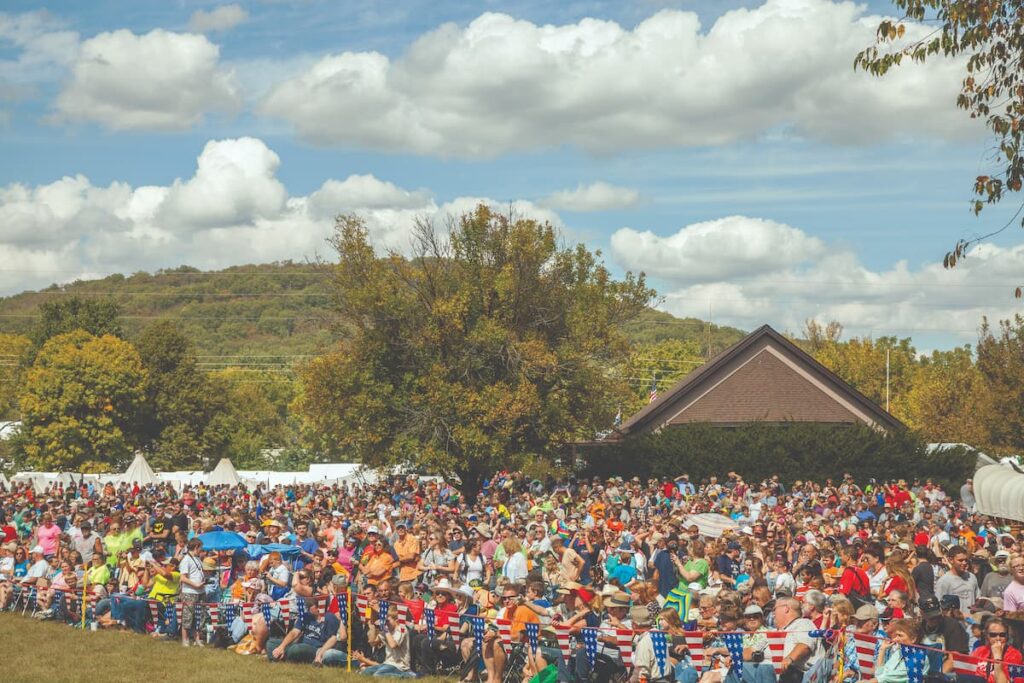
Photo by Ben Nickelsen
The time-gentled remains of Fort Davidson lie in the shadows of the granite knobs of the St. Francois Mountains, near Pilot Knob, Missouri, in the Arcadia Valley. Standing on the grass-covered slope of what was once a wall with a moat, you try to comprehend the carnage that took place here and down along Knob Creek on the afternoon of September 27, 1864, when Maj. Gen. Sterling Price stormed the fort.
Lack of discipline and lack of arms, horses, and perhaps even shoes conspired with geography against Price and his army. The one-time Missouri governor had entered Missouri from Arkansas on September 19 with a force of more than twelve thousand men, including some three thousand Arkansas conscripts and deserters pressed into service. Thousands of his troops were said to have been without adequate footwear, and fully one-quarter of the complement was without arms. Price planned to march his three divisions north to take the federal arsenal at St. Louis, a much-needed prize for the failing Southern cause, and then install the Confederate governor-in-exile in Jefferson City, rallying Missourians to his side as he progressed through the state. From a broader Confederate perspective, the intent of the campaign was to tie up federal troops in the West in order to relieve the desperate situation in the East, and Price succeeded in this, though at a terrible cost. After reaching Fredericktown, having encountered little resistance, Price and his staff debated whether to move directly to St. Louis or to turn west to seize the Union fortification at Pilot Knob. Afraid to leave this enemy fort on his flank, Price made the fateful decision to assault the stronghold twenty-two miles to the west. On September 26, he sent one division northwest to cut the railroad to Pilot Knob, but Union Brig. Gen. Thomas Ewing Jr., a brother-in-law of renowned Union Gen. William Tecumseh Sherman, and a small detachment of infantry reinforcements had reached Fort Davidson by train before noon that very day. This was the same Thomas Ewing who had provoked the passionate hatred of Missouri Southerners by his issuance of the infamous Order No. 11, which forced the depopulation and destruction of four heavily pro-South counties along the Kansas border in western Missouri.
Fort Davidson, with its hexagonal nine-foot earthen walls and dry moat, had been built the previous year by federal forces. It guarded the Ironton gap between Shepherd Mountain on the west and Pilot Knob on the east and marked the terminus of the Iron Mountain Railroad, which hauled the abundant minerals of the St. Francois Mountains region north to St. Louis. An approaching army would have to pass through hundreds of yards of open ground to reach the walls of the fort. Still, the fort was vulnerable to artillery attack from either of the flanking knobs, which had no forts because the ones that had been planned were never built.
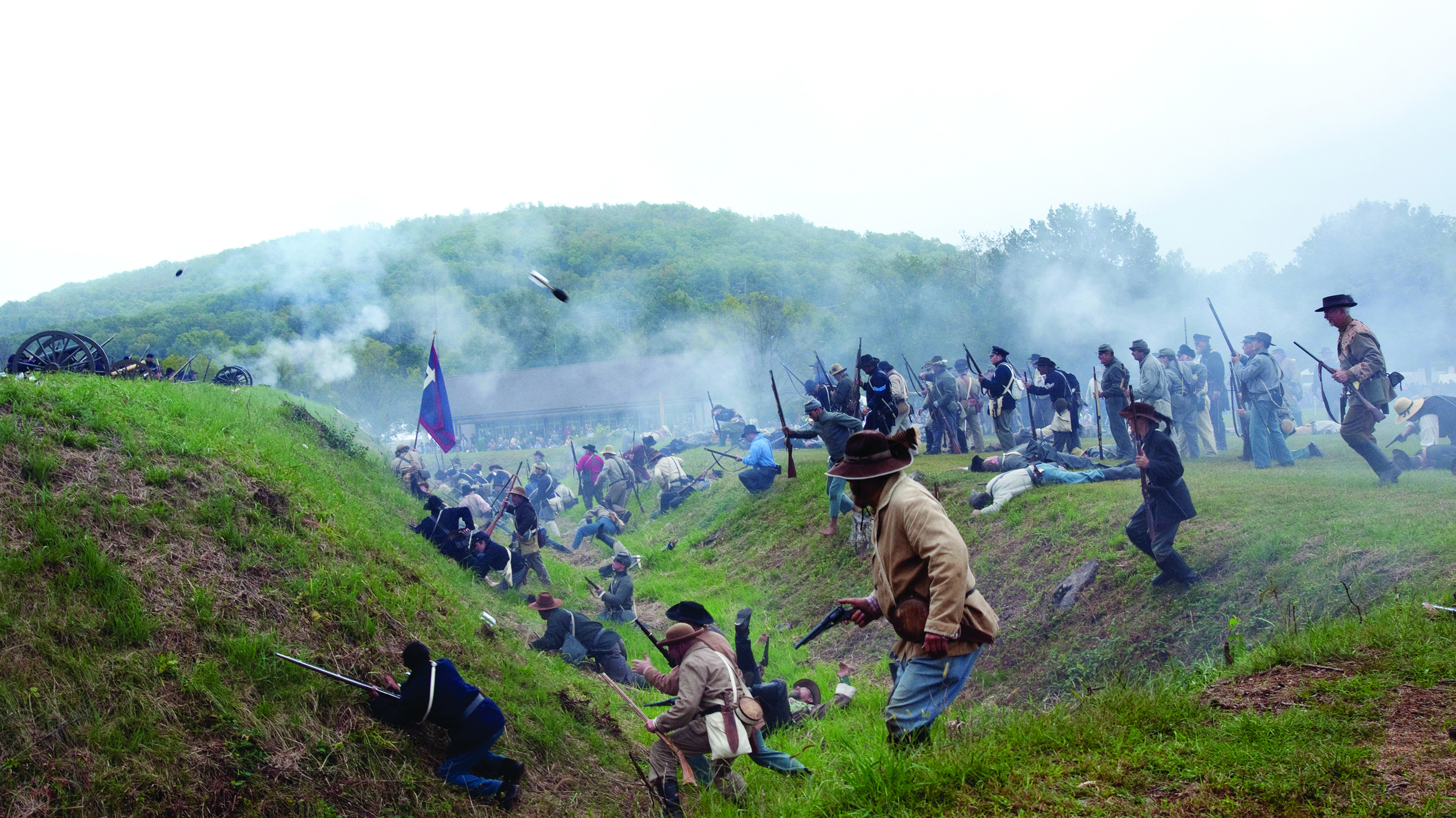
Ewing had about 1,400 men to hold his position. He also possessed formidable artillery and plenty of ammunition. Shortly after his arrival at the fort, he sent two companies through the gap to patrol the road to Fredericktown. They quickly engaged the rebels’ advance troops along the Stouts Creek Shut-Ins just east of Ironton. Skirmishes continued around the Iron County courthouse and back up the gap toward the fort. Price gave Ewing an opportunity to surrender early on September 27, but Ewing refused. Price launched a frontal assault on the Union forces. The bloody assault was short—some say only twenty minutes—but the casualties quickly mounted, numbering from five hundred to a thousand, mainly among Confederates storming the fort.
Having learned a bitter, costly lesson in this ill-advised frontal attack, Price decided to bombard the fort with cannons from Shepherd Mountain the next day. But at two o’clock on the morning of September 28, a loud explosion roused his forces. At daybreak, they found the fort empty with a giant smoldering hole in the center—all that was left of the Union powder magazine.
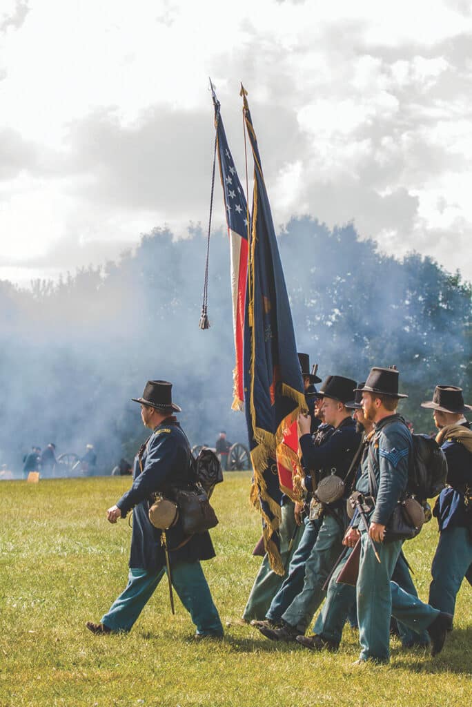
Photo Ben Nickelson
During a drizzly, dark night, with the wheels of their cannons and wagons muffled, the federal troops sneaked right through the disorganized rebel lines. When the squad left behind blew the powder magazine, General Ewing was already miles away. Outraged, General Price sent a division after the fleeing forces, but Ewing managed to fight his way safely to Leasburg after several days. With many of his troops lost and the rest in disarray after this disaster, Price abandoned his plans to take St. Louis. He turned instead to a secondary prize, Jefferson City, only to be turned away by a newly reinforced Union garrison. From there, Price continued westward, pursued by Union forces. He suffered major defeats on October 23 at Westport, the biggest battle west of the Mississippi, and two days later at Mine Creek, Kansas, before retreating into Arkansas, all hope for reclaiming Missouri now shattered.
In 1905 the Pilot Knob Memorial Association, an organization of Civil War veterans who hoped to encourage federal preservation of the battlefield, purchased the site. Even though Ewing’s son was a principal player in this endeavor, broad support for creating a national battlefield was apparently not forthcoming. In 1938 and 1939, Ewing’s son and his wife, still hoping the site would someday become a national park, donated it to the US Forest Service, which was acquiring land in the vicinity. State park planners apparently prepared a master plan for the site as a cooperative endeavor, but the State Park Board was not interested in taking it over at the time. There was little development except for a small pull-off with a historical marker.
The modern reawakening of the site began with cannon fire and rousing speeches before a large crowd at a gathering to mark the centennial of the battle in 1964, and in 1969, the State Park Board agreed to take responsibility for managing and interpreting the two-acre site of the fort.
Renewal of the ten-year permit from the Forest Service in 1980 led to increasing interest in making this fascinating site a more meaningful experience for visitors. In 1987 the state obtained title to the entire fifteen acres originally purchased by veterans in 1905 for the memorial, and in 1990, an adjacent nineteen-acre city park was added as well, providing a site for a new visitor center. In 1997 national Civil War organizations donated forty acres to the east, formerly owned by Hanna Mining Company. The site now covers eighty acres.
The state also has an agreement with the US Fish and Wildlife Service, which owns substantial acreage on Pilot Knob, that allows for guided hikes up the mountain to see remnants of iron mining and Civil War activity and to gain a panoramic overview of the St. Francois Mountains and of the Fort Davidson earthworks. The city of Pilot Knob now owns Shepherd Mountain, from which Price’s troops intended to bombard the fort. In 2013 the city opened a two-mile loop hiking trail on the northeast face overlooking the battlefield. The state has also acquired two acres at Stout’s Creek Shut-Ins where forces from the two sides skirmished before the fateful battle, though public access awaits road changes in the area.
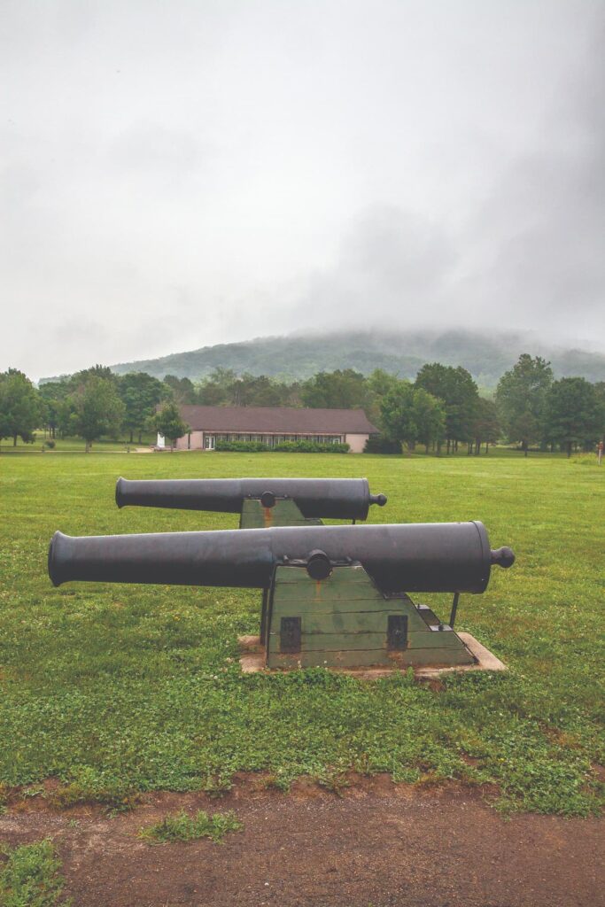
Photo by Ben Nickelson
The site of Fort Davidson was renamed Battle of Pilot Knob State Historic Site in 2014 on the occasion of the sesquicentennial of the battle. Your tour there should begin in the visitor center, equipped with an audiovisual program and a fiber-optic battle map as well as other exhibits and artifacts. Included is a Confederate six-pounder cannon that had been dragged to the top of Shepherd Mountain only to be hit by uncannily accurate Union cannon fire from the fort before it could be brought into action. The building, of subtle classical design, is located some distance from the fort to minimize its impact while still providing a formal and dignified entry to the battlefield.
The approach to the fort itself is over a pleasant walking path across the ground that was once contested so fiercely. From the path toward the fort, the strategic nature of the narrow notch in the mountains becomes apparent. The mass of Shepherd Mountain looms ahead, blocking the horizon, while the jagged-toothed, mined-out summit of Pilot Knob rears up behind. When Cyrus Peterson in his book about the battle referred to it as the “Thermopylae of the West,” he spoke not only in classical allusion but also with considerable topographical accuracy.
The sharp-edged reality of armed conflict to the contrary, the fort today evidences a curious softness, the result of years of weathering and the healing miracle of grass covering the entire earthwork. Early morning and late afternoon visits are most rewarding, when the low angle of the sun’s rays heightens the relief of the remaining features. Then, the moat lies in shadow while the tops of the walls where the parapets once stood are still bathed in sunlight, bringing forth the clear outline of the once embattled hexagon.
Even the earthen platforms for the thirty-two-pounder siege guns at the corners become visible in the slanting rays. The deep shadow marking the crater in the center of the fort serves as compelling evidence of the magnitude of the blast that startled the resting Confederates during that rainy night following the afternoon’s carnage.
Extending from the fort’s south wall was a rifle pit, really a trench some two hundred yards long and deep enough for men to walk in and fire from. Now it is visible only from the air as a faint shadow in the green grass, reaching out from the fort and stretching south toward Shepherd Mountain in the distance. Several hundred Confederate soldiers still repose within it, resting forever on the battlefield where they made the ultimate sacrifice for their principles on that warm fall afternoon in Missouri, September 27, 1864.

BATTLE OF PILOT KNOB STATE HISTORIC SITE • 118 EAST MAPLE, PILOT KNOB
Feature photo by Ben Nickelson.
Related Posts
Civil War History at the Battle of Carthage State Historic Site.
More than 1,100 Civil War battles were fought in Missouri. Our state parks system focuses on six sites. The Battle of Carthage State Historic Site is one not to be missed. There are interpretive displays and a Civil War museum near the square in Carthage, as well as the fields where the battles took place.
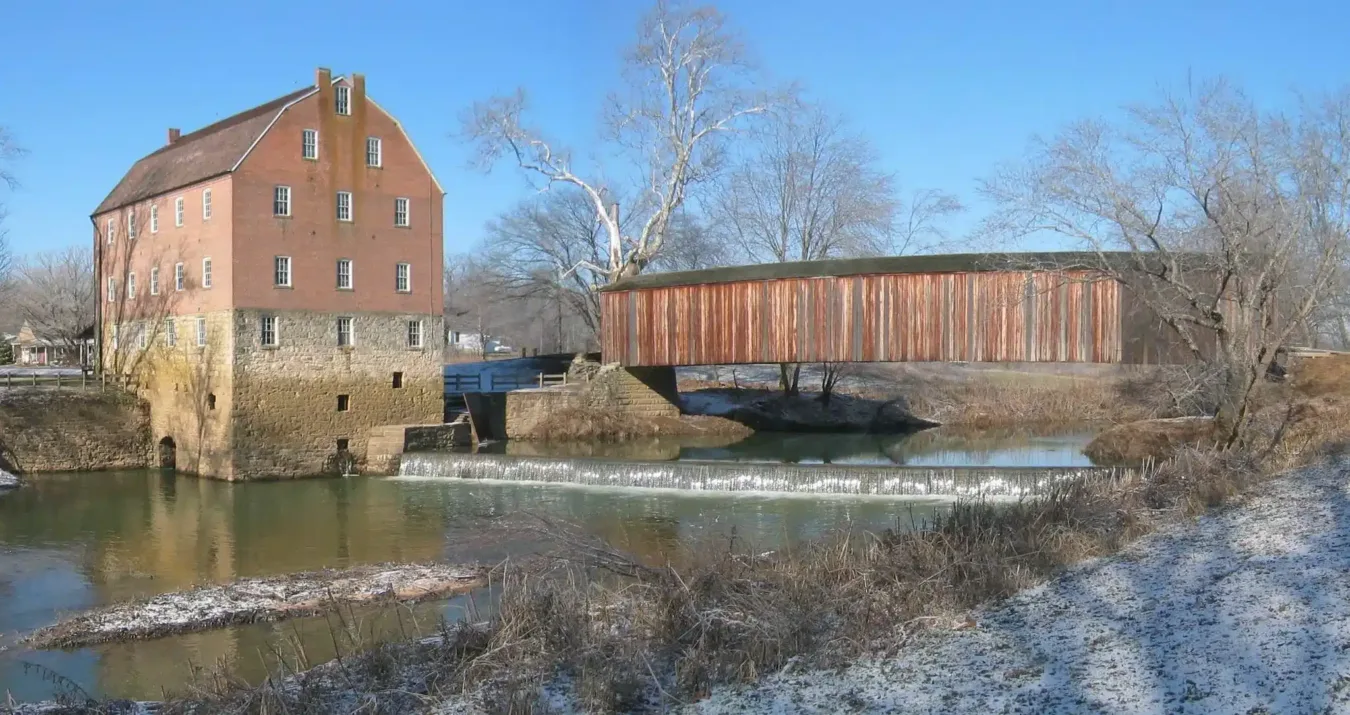
Bollinger Mill State Historic Site
Bollinger Mill and Burfordville Covered Bridge provide you with a step back in time to experience genuine grist milling, a stroll through the oldest covered bridge in Missouri, and a peaceful rest along a tree-lined stream.
Lots of History at the Battle of Pilot Knob State Historic Site
The Battle of Pilot Knob State Historic Site is a place filled with history. Many battle reenactments have relived the events that took place on Sept., 27, 1864. Visit the fort, bring a picnic, and immerse yourself in Civil War history.
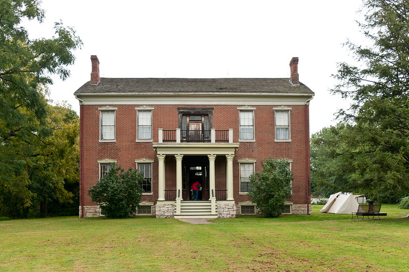
Visit the Battle of Lexington State Historic Site
Lexington, Mo is brimming with annetebellum homes and amazing architecture, and is surrounded by beautiful landscapes. The Anderson House was used as a hospital during the Civil War. The site is most notable for the Battle of the Hemp Bales. Come find out why.

